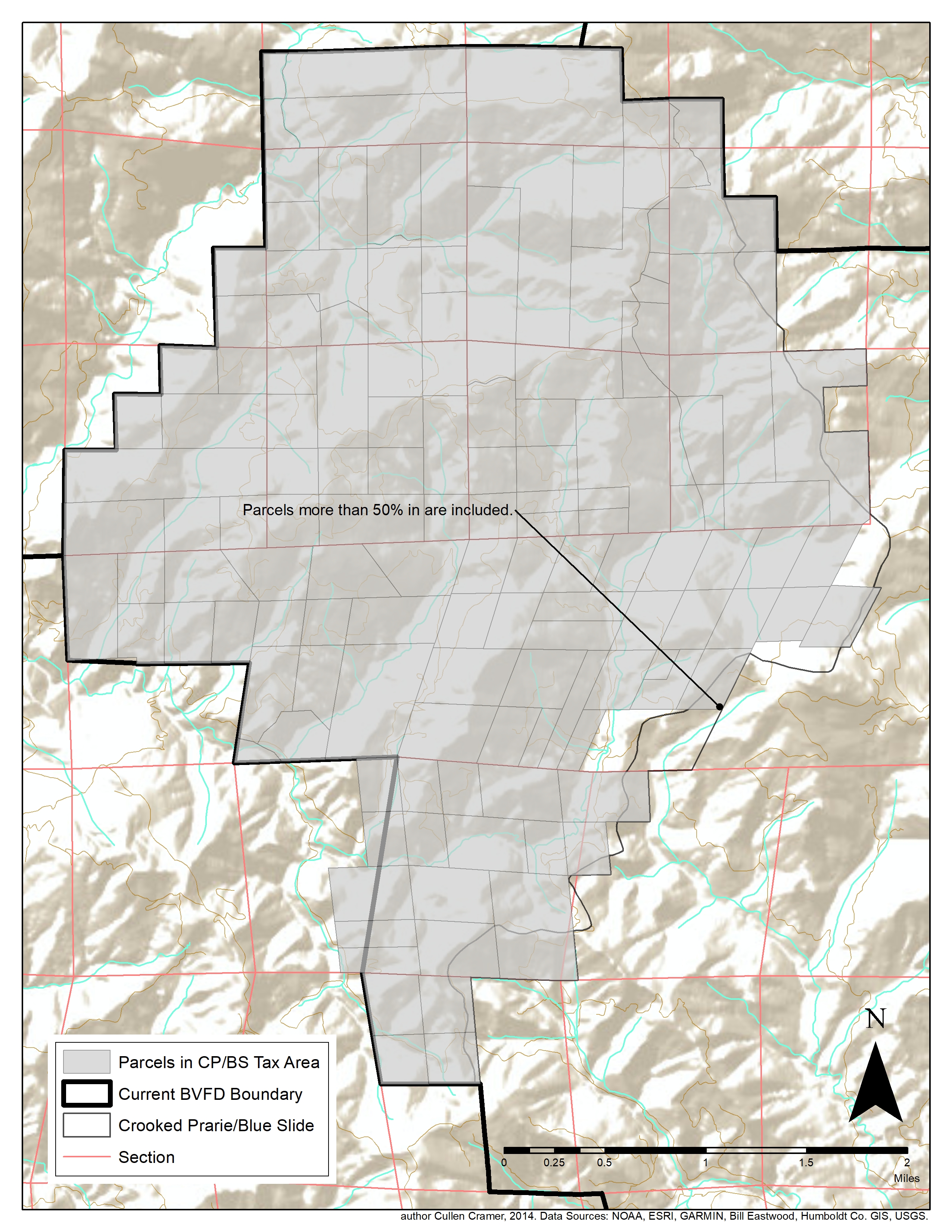
Project Description
The purpose of this map was to determine which parcels would belong to a special parcel tax area. Parcels that resided within this area would have the parcel tax revenue directed to the local fire department. One boundary was the watershed boundary (lower right side of map), which was an irregular dividing line. Stake holders needed to know which parcels lied more than 50 percent within the watershed, and which did not, in order to determine where to direct the parcel tax revenue.
