Project Description
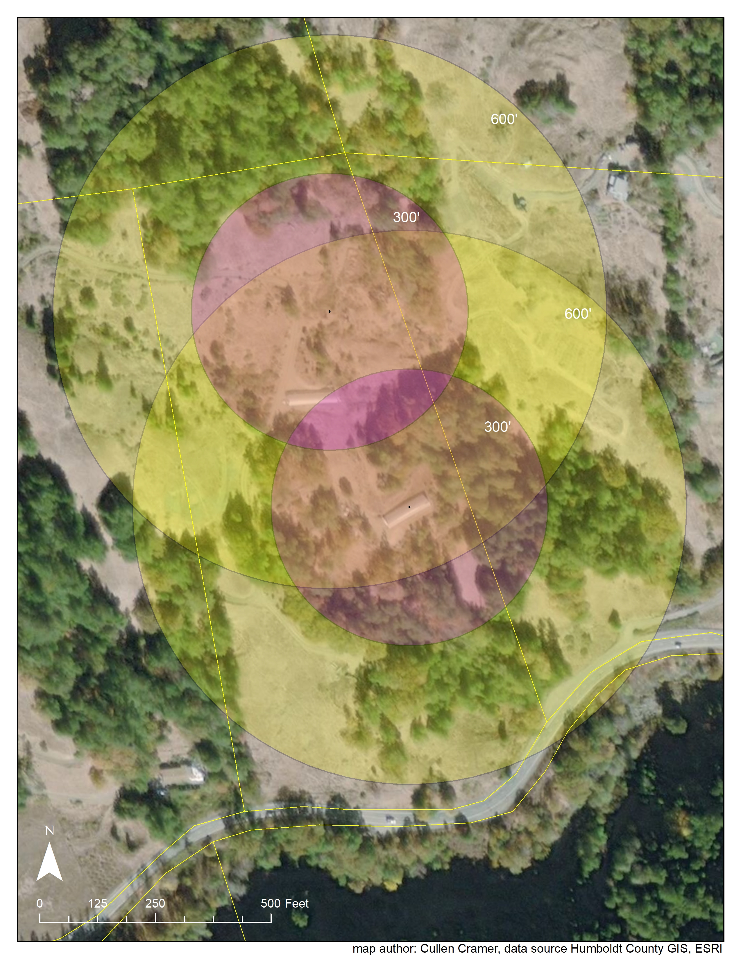
This map shows a basic 300' and 600' buffer around a cannabis cultivation operation area. These maps were part of a Humboldt County Commercial Cannabis Permit application. The information provided in these maps addresses ordinance requirements that seek to limit proximity of cultivation operations to schools or places of worship. The northern-most center point is placed where the applicant wishes to relocate their greenhouse.
