Project Description
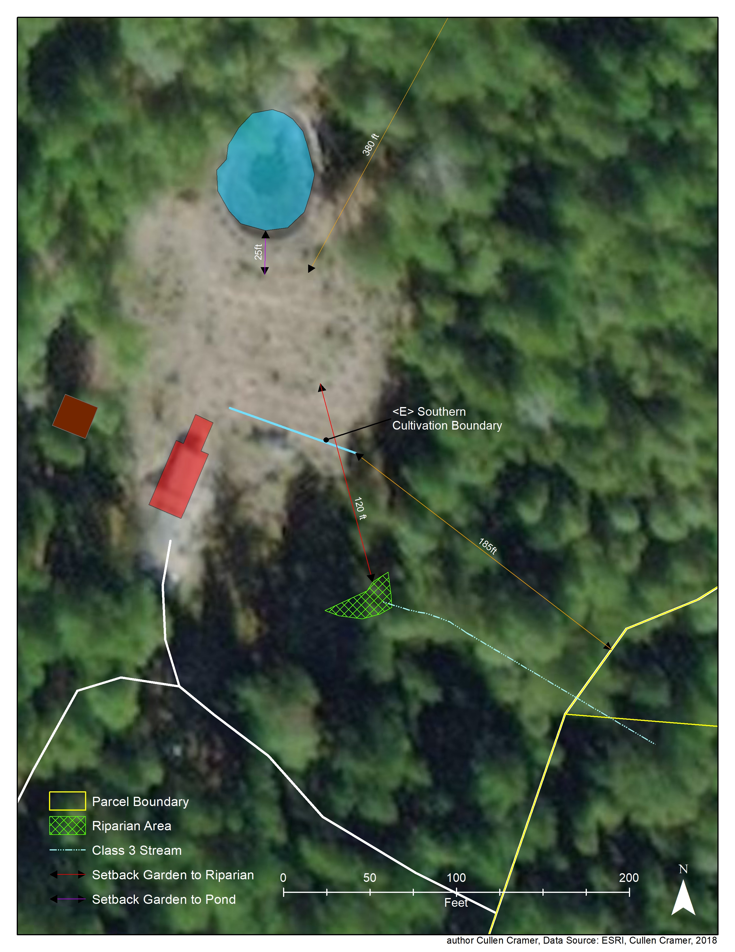
This is a Site Plan Map, a component of the Humboldt County Commercial Cannabis Permit Application. These maps depict setback distances of cultivation areas to property boundaries, and setbacks from cultivation area to a riparian area. The information in these maps address general regulatory concerns about the potential for fertilizer-runoff into sensitive habitat, and potential nuisance concerns.
